Description
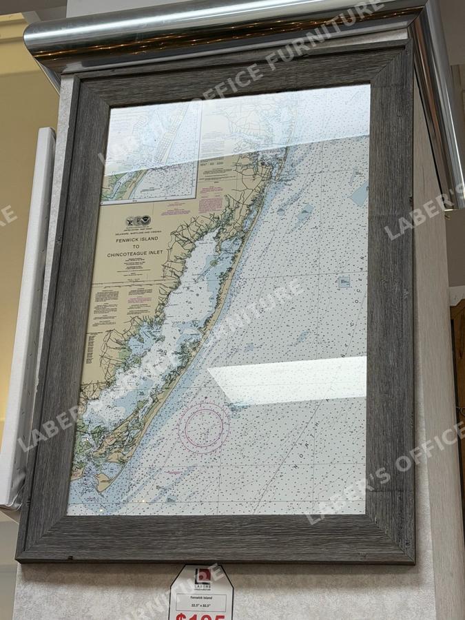
A framed NOAA nautical chart of the U.S. East Coast covering Delaware, Maryland, and Virginia, from Fenwick Island to Chincoteague Inlet. The chart is presented under glass in a gray barnwood-style frame.
Available in multiple sizes and formats — framed, unframed, canvas, or print only.
Call or stop in for pricing. See it in our Hagerstown showroom at 1344 Wesel Blvd. We’re open Monday through Friday 8:30 to 5:00 and Saturday 9:00 to 1:00.